Restoration you can read, season by season.
Healthy soil is the fastest carbon store on Earth, and the hardest to see. SoilSignal makes it visible: an open sensing layer co-designed with tribal, rural, and academic partners, streaming ground-truth from every acre we restore.
See what is changing beneath the surface.
SoilSignal combines field sensors, environmental data, and local knowledge to track how soil, water, and vegetation change over time.
Real-time signal from the ground up.
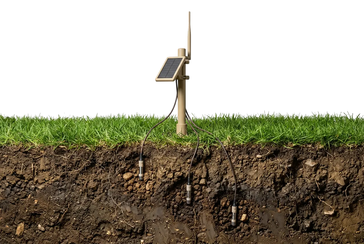
Field-deployed SoilSignal probes stream soil moisture, temperature, conductivity, and microbial proxies from every restoration plot, a continuous pulse from the land itself, not a once-a-year snapshot.
Explore SoilSignal on tablet.
Would you like to access the prototype?
Choose how you'd like to continue. You'll confirm a short acknowledgment on the next step.
Prototype only, no account is created. SSO buttons are illustrative; you'll confirm your email on the next step.
From field signals to fundable land stewardship.
Sense
Communities can see problems early instead of waiting for damage, drought stress, or failed restoration outcomes.
Signal
The data becomes a live site signal, layered with satellite data, bioregional context, and approved university or partner datasets. Showing where conditions are improving, where risk is emerging, and when land stewards should act.
Validate
Baselines and outcomes are published as open datasets, auditable by funders, scientists, and the communities who own the land.
Signals from the network.
SoilSignal deploys inside ProgramEarth's active restoration sites. Every probe is placed and maintained by the community that stewards the land.
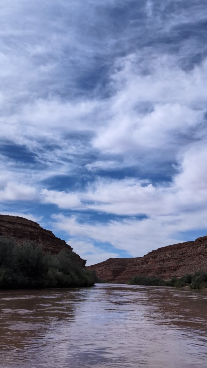
San Juan River
Headwaters restoration along the upper San Juan River, pairing tribal and ranch stewards with probes that track soil moisture, streambank recovery, and drought resilience across the watershed.
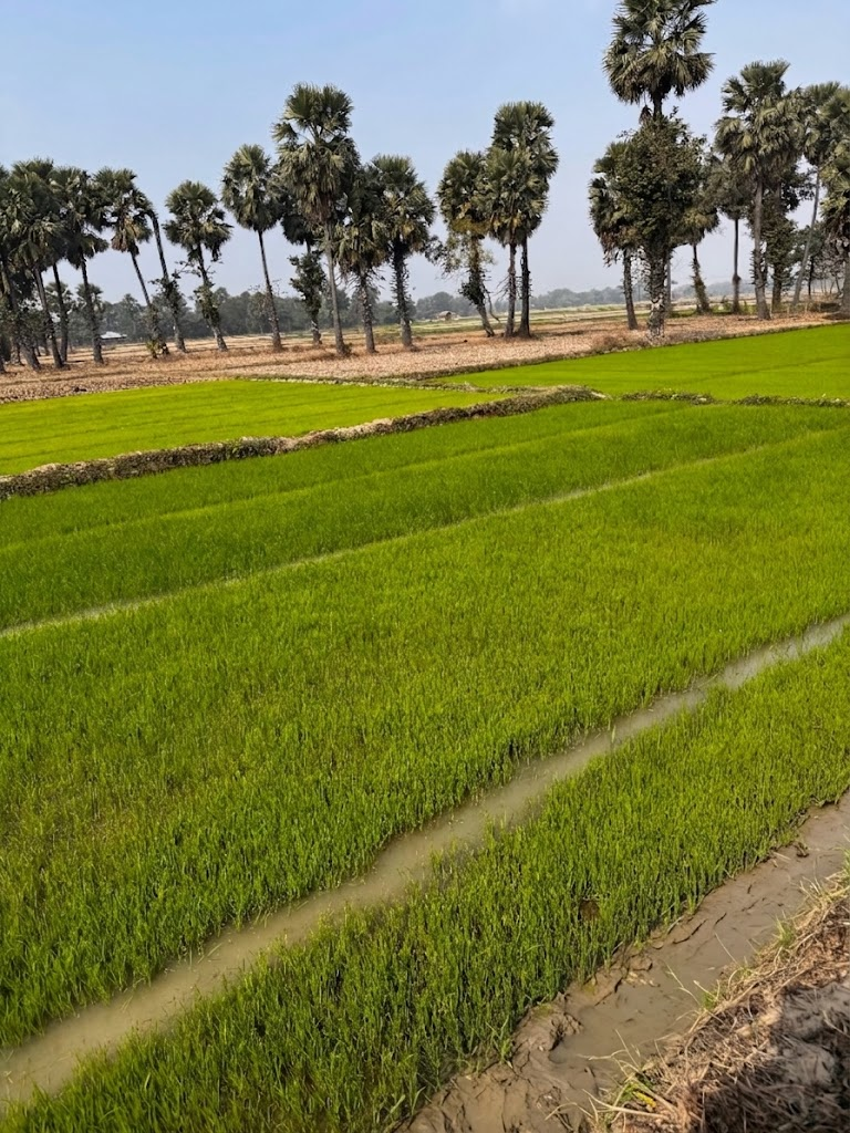
West Bengal
Santali-led mycelium and biochar plots, with probes tracking moisture and microbial recovery across degraded paddy soils.
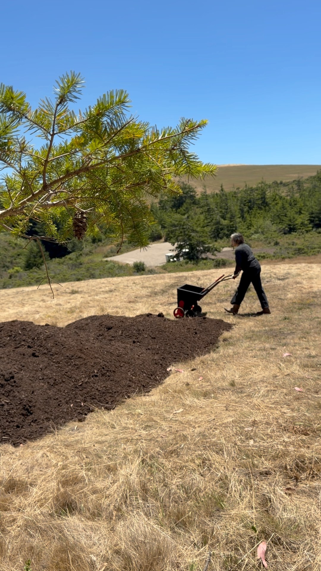
Red Dot Ranch
Coastal rangeland stewardship on the San Mateo coast, compost applications and Douglas-fir edge planting, with probes tracking soil moisture and carbon recovery across grazed grassland.




Let's talk.
Fund a deployment, sponsor a site, or partner on the open data layer. Every signal shortens the loop from restoration to verified outcome.